


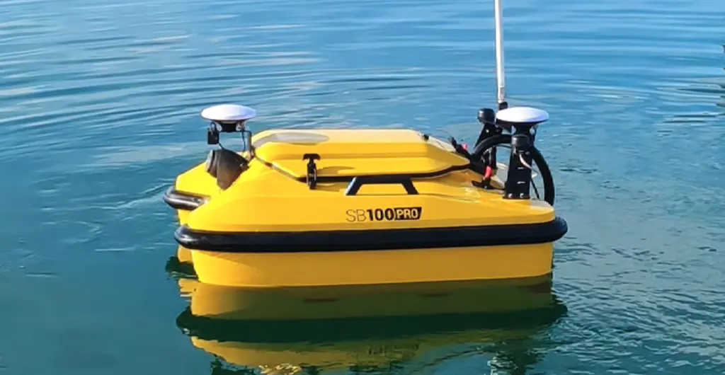
Step-by-Step Process of Conducting Surveys with a Multibeam Echo Sounder
Conducting underwater surveys has become significantly more accurate and efficient with modern hydrographic technology. One of the most widely used tools for seabed mapping is the multibeam echo sounder. Understanding the Step-by-Step Process of Conducting Surveys with a Multibeam Echo Sounder is essential for achieving reliable bathymetric data, whether for navigation, marine construction, or scientific research.
Introduction to Multibeam Echo Sounding
A multibeam echo sounder (MBES) is an advanced sonar system used to map the seafloor by emitting multiple sound waves in a fan-shaped pattern beneath a vessel. Unlike single-beam systems, MBES captures a wide swath of the seabed, providing detailed 3D underwater terrain models.
The Step-by-Step Process of Conducting Surveys with a Multibeam Echo Sounder involves careful planning, equipment calibration, data acquisition, and post-processing to ensure accurate results.
Step 1: Survey Planning and Area Definition
Before deployment, survey planning is crucial. This stage includes:
- Defining the survey boundaries
- Understanding water depth and seabed conditions
- Selecting appropriate equipment settings
- Planning vessel routes and survey lines
Proper planning ensures efficiency and reduces data gaps. In the Step-by-Step Process of Conducting Surveys with a Multibeam Echo Sounder, this stage lays the foundation for all subsequent operations.
Step 2: System Installation and Calibration
Once the vessel reaches the survey site, the MBES system must be installed and calibrated. This includes:
- Mounting the transducer on the hull or pole
- Integrating GPS and motion sensors
- Conducting patch tests for alignment errors
- Calibrating sound velocity profiles
Accurate calibration is essential in the Step-by-Step Process of Conducting Surveys with a Multibeam Echo Sounder, as even small errors can distort seabed mapping.
Step 3: Sound Velocity Profiling
Sound speed in water varies depending on temperature, salinity, and pressure. To correct data distortion:
- A sound velocity profiler (SVP) is deployed
- Measurements are taken at different depths
- Data is uploaded into the MBES system
This ensures that sonar beams are accurately refracted. Without this step, the Step-by-Step Process of Conducting Surveys with a Multibeam Echo Sounder would produce unreliable depth readings.
Step 4: Data Acquisition During Survey Runs
During this phase, the vessel follows pre-planned survey lines while the MBES system continuously collects data. Key activities include:
- Monitoring real-time sonar returns
- Adjusting vessel speed and heading
- Ensuring overlap between survey swaths
- Recording positional and depth data
This is the core operational phase of the Step-by-Step Process of Conducting Surveys with a Multibeam Echo Sounder.
Step 5: Data Cleaning and Processing
Raw sonar data often contains noise and errors. Processing involves:
- Removing outliers and false echoes
- Applying tidal corrections
- Filtering motion-related distortions
- Generating digital terrain models (DTMs)
This step transforms raw data into usable bathymetric maps and is a critical part of the Step-by-Step Process of Conducting Surveys with a Multibeam Echo Sounder.
Step 6: Visualization and Chart Production
After processing, the final data is visualized:
- 3D seabed models are generated
- Contour maps are created
- Navigation charts are updated
- Reports are compiled for stakeholders
These outputs support engineering, navigation safety, and environmental studies.
Conclusion
The Step-by-Step Process of Conducting Surveys with a Multibeam Echo Sounder is a structured workflow that ensures accurate underwater mapping. From planning and calibration to data acquisition and final visualization, each step plays a vital role in producing reliable hydrographic data. As marine industries continue to expand, mastering this process is increasingly important for safe and efficient ocean exploration.